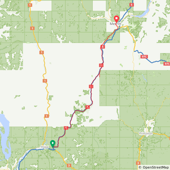
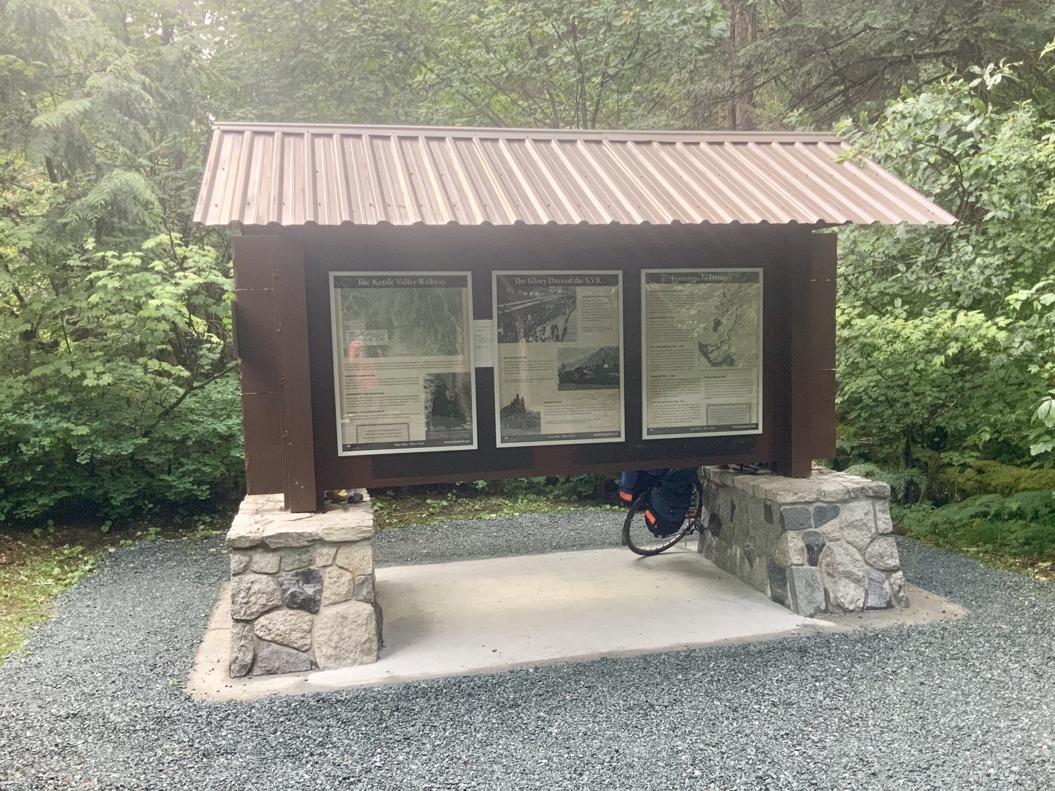
Spent the night at the Othello Tunnels parking lot, as the campground options in Hope weren’t appealing, especially after I’d already had a shower at the Harrison hot springs. There was a nice covered interpretive display, so I didn’t even need a tent. A cyclist came through shortly after 6 and we had a nice chat about his previous bicycle touring trips.
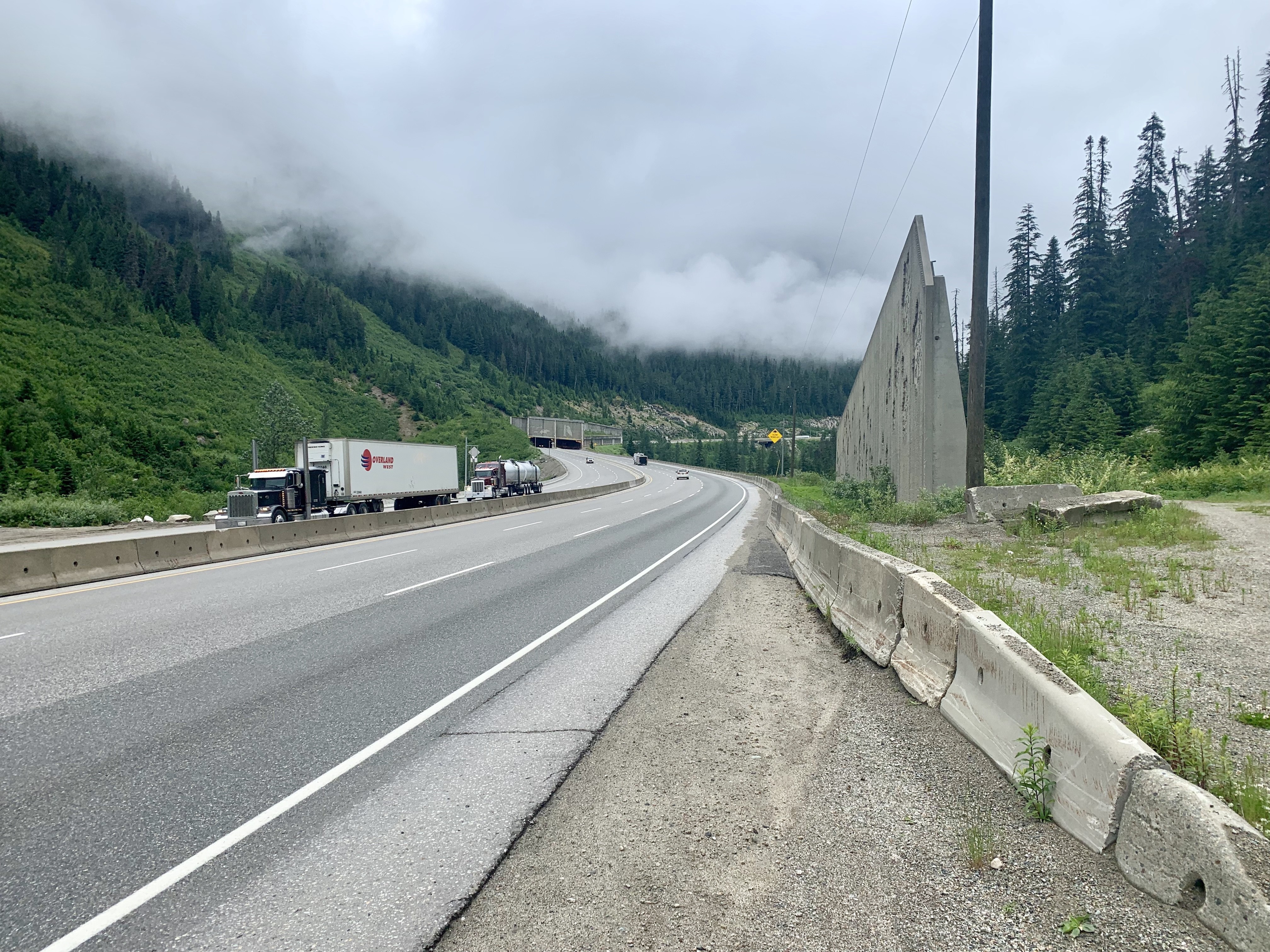
I spent most of the day riding the Coquihalla highway, which has a wide paved shoulder for most of the way. It has a bad habit of removing the shoulder to add another passing lane, giving you about a foot of space between the painted line and the concrete barrier. Thankfully all the truck drivers would move over to give me space, but I still spent a lot of time checking my rear view mirror to make sure.
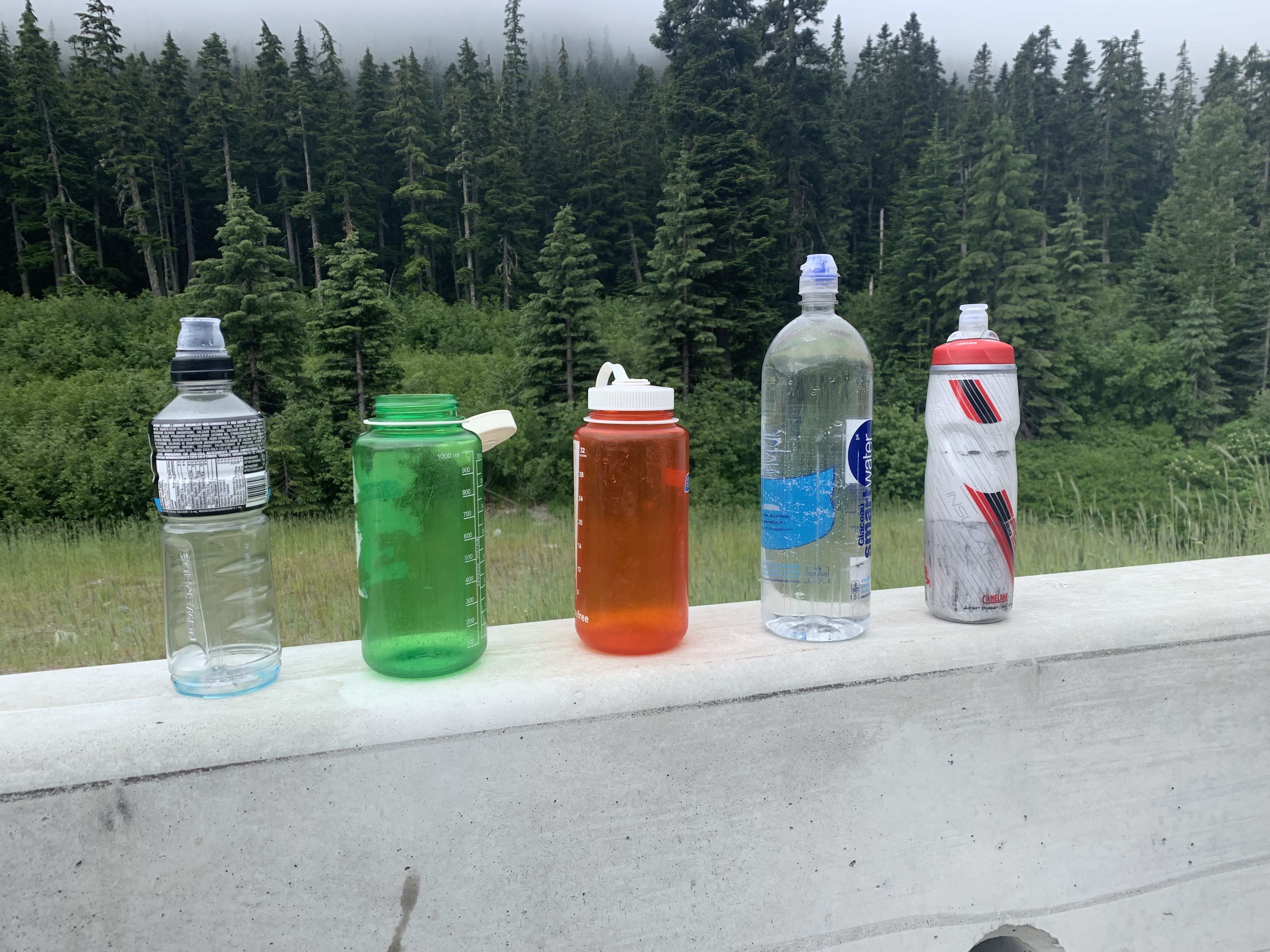
Shortly after I finished the bulk of climbing the Coquihalla summit, my friend Jon from Kamloops passed me in his van. He and his son were driving to Hope to see friends (more visitors from our shared hometown of London Ontario), saw me on the other side of the highway, pulled a U-turn and stopped to give me gatorade and water (He knew to expect me). It was very welcome, as I was running low on water at this point.
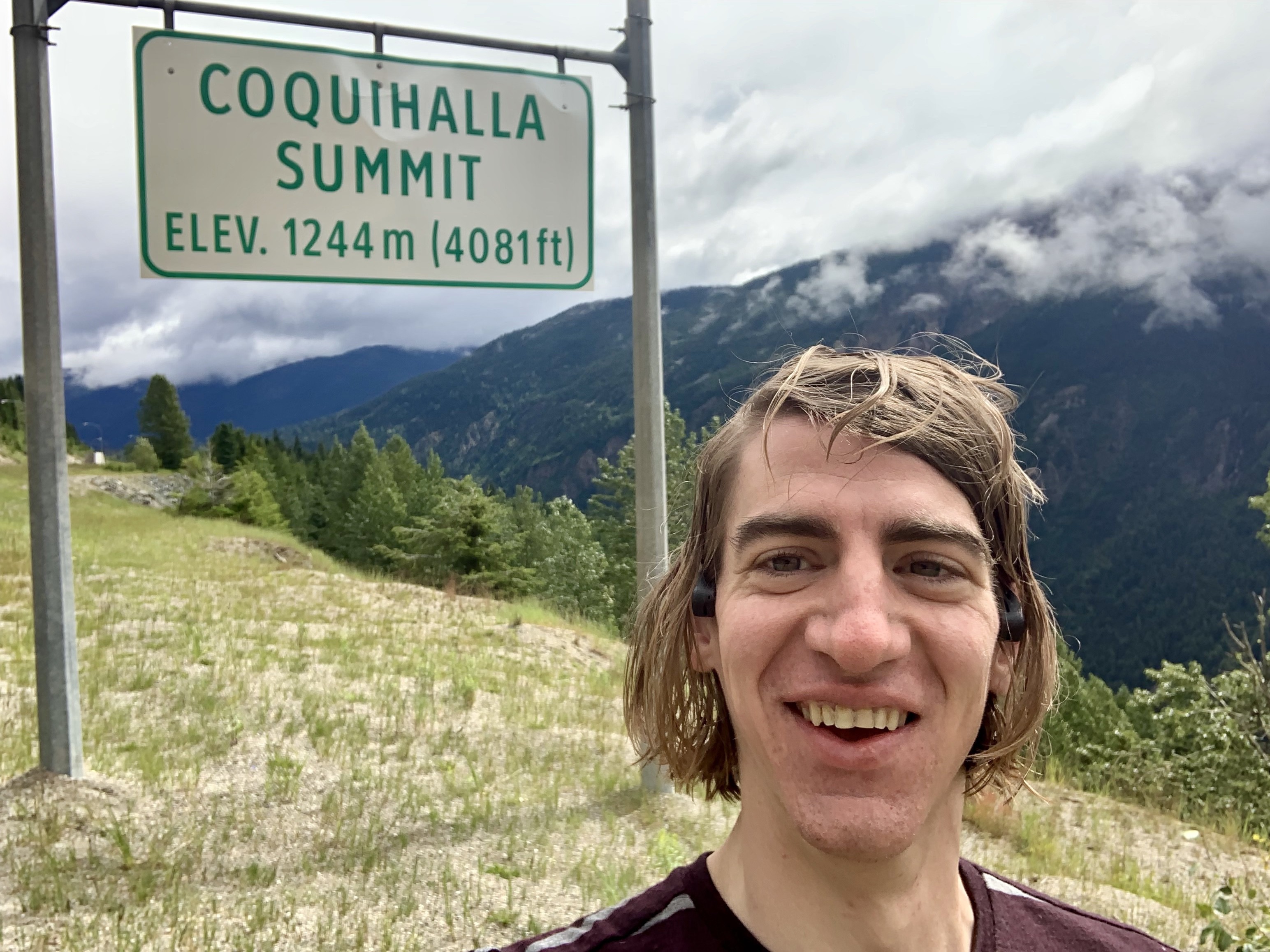
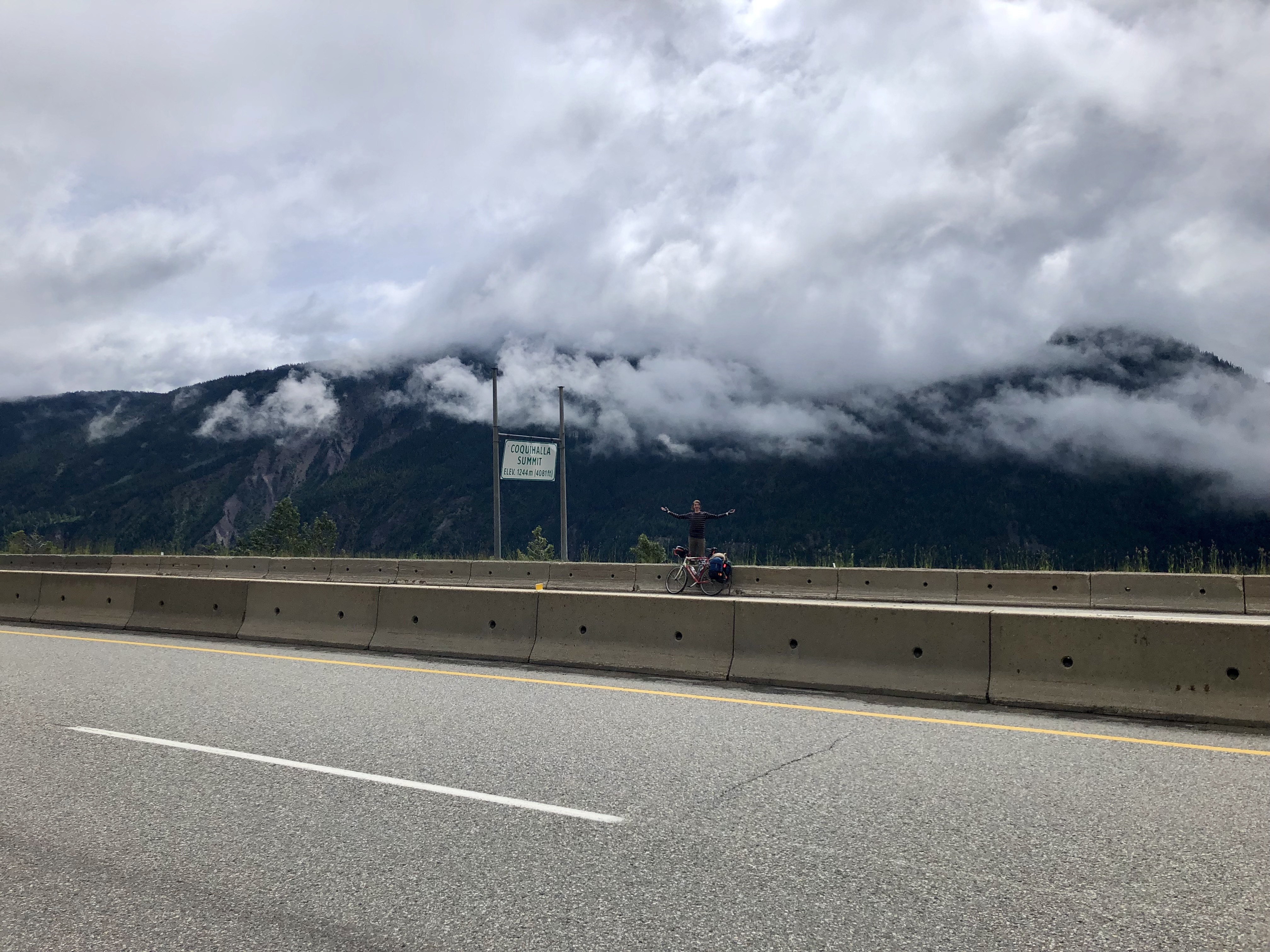
Jon continued north towards Merritt so he could do another U-turn and continue his drive to Hope. He managed to pass me again when I reached the summit proper and take a picture of me celebrating climbing my first mountain pass.
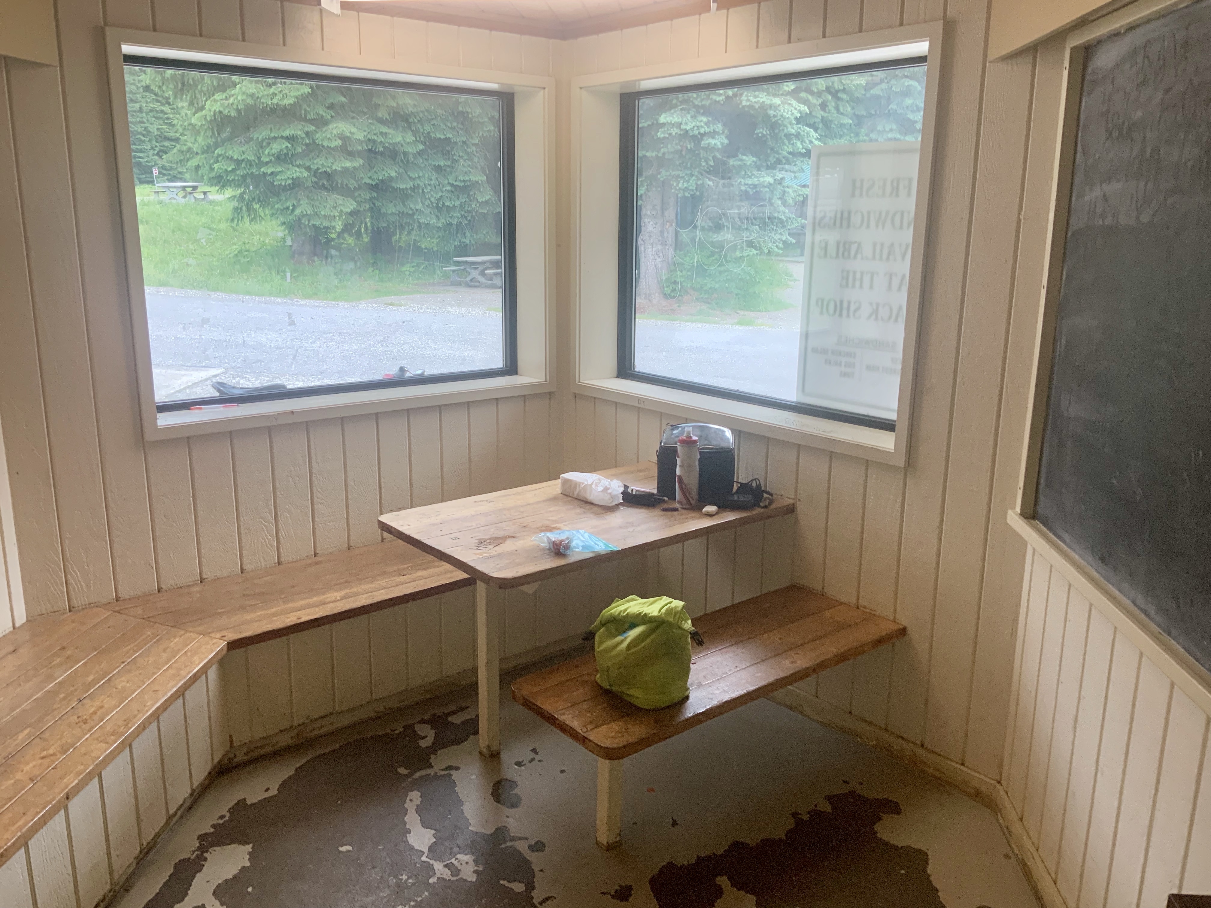
After the pass I quickly reached the Britain Lake rest station, which had a place to sit inside and free wifi. Free wifi! I was able to call my kids, eat a big lunch, charge my batteries, and write a blog post. It was great. I spent two hours there, which was probably too long given the rainstorm I rode into later.
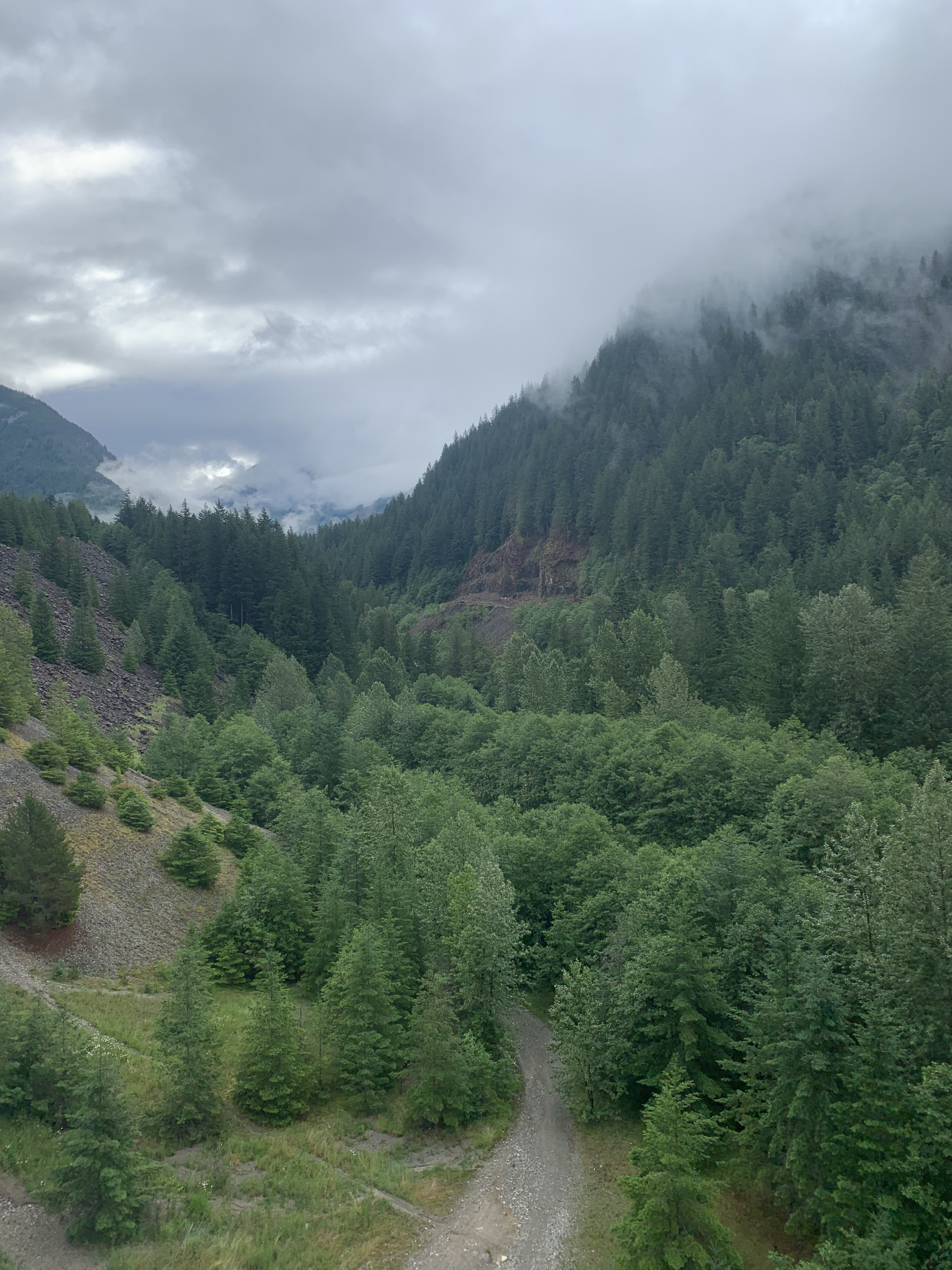
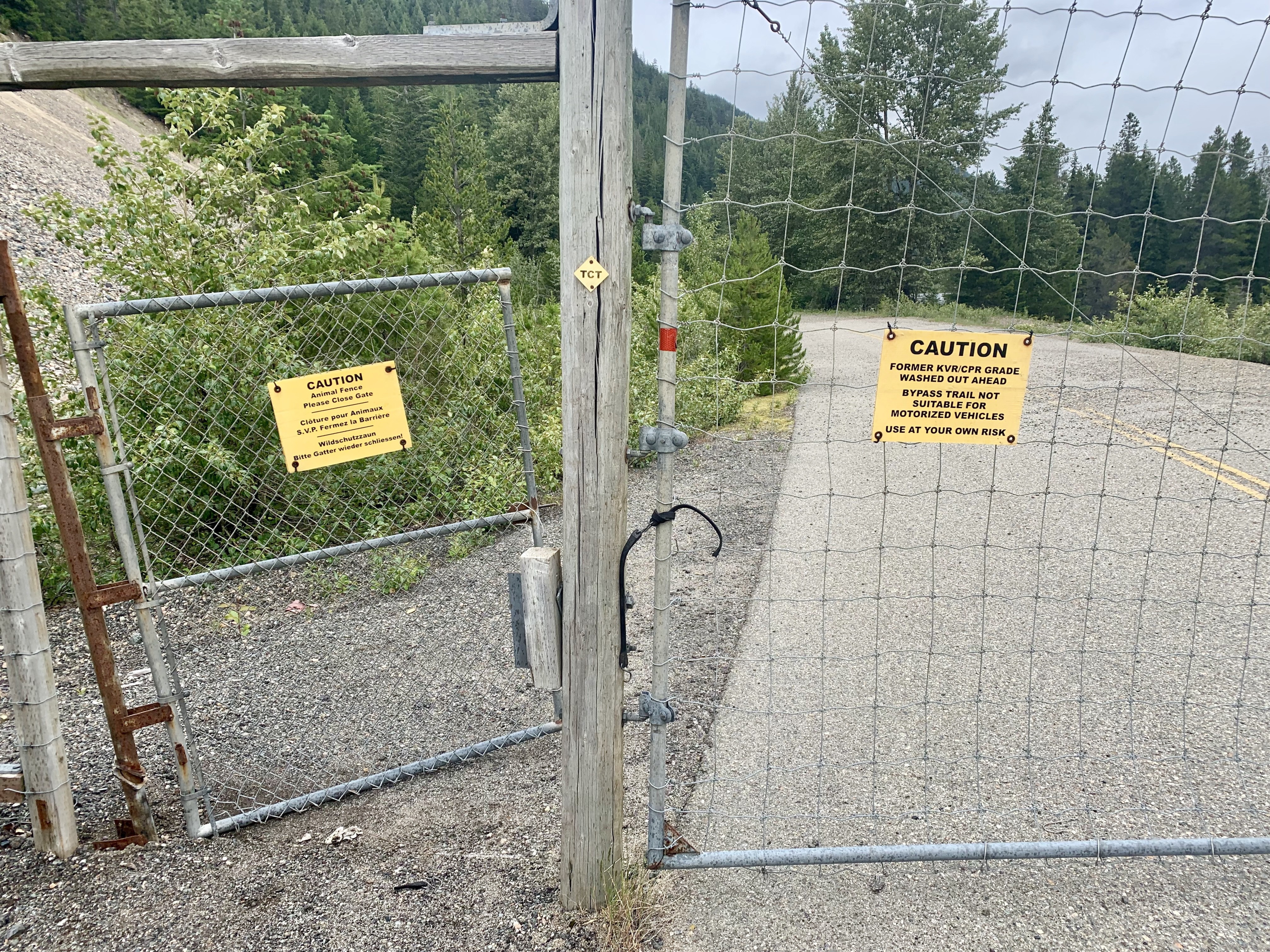
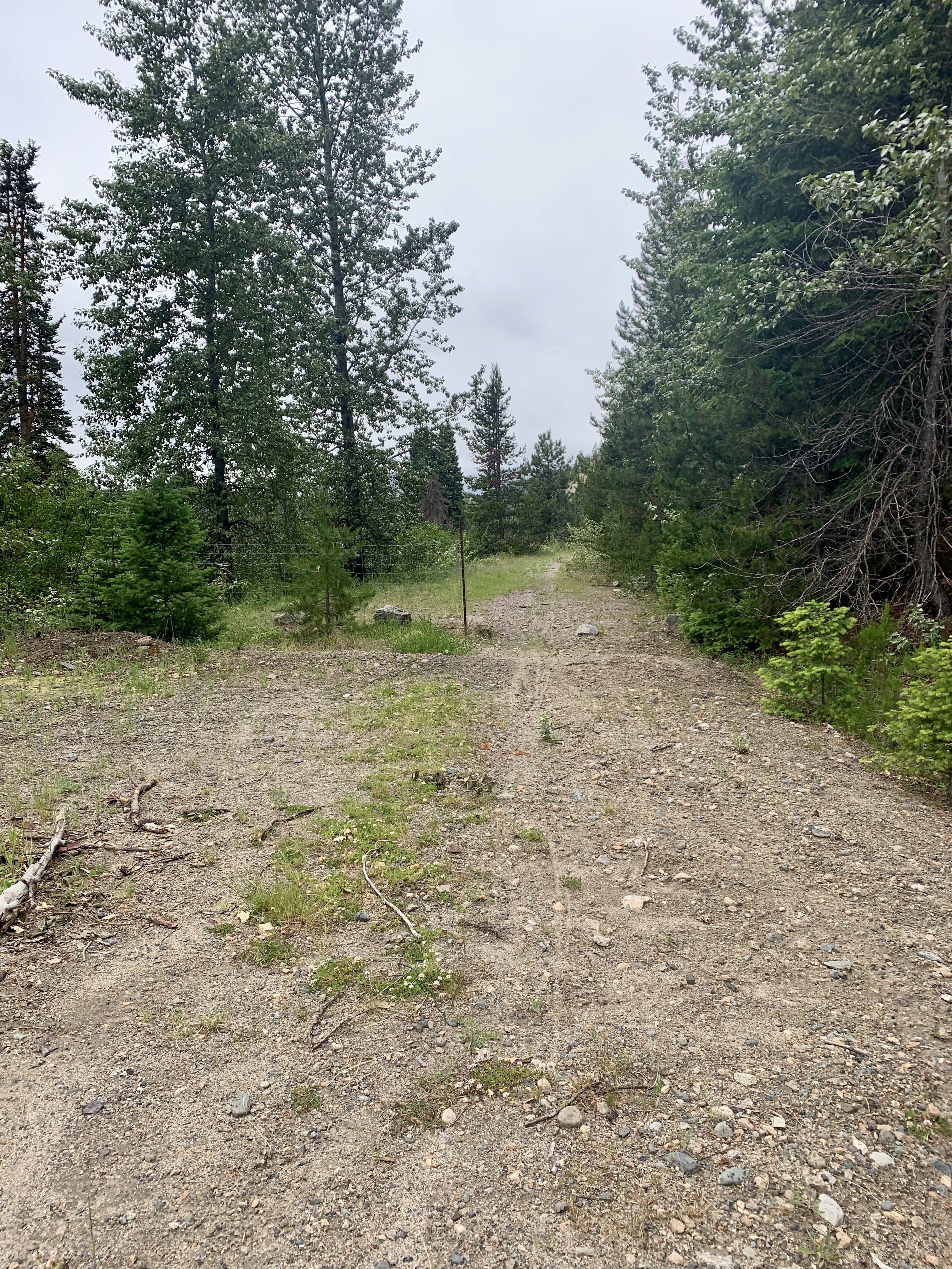
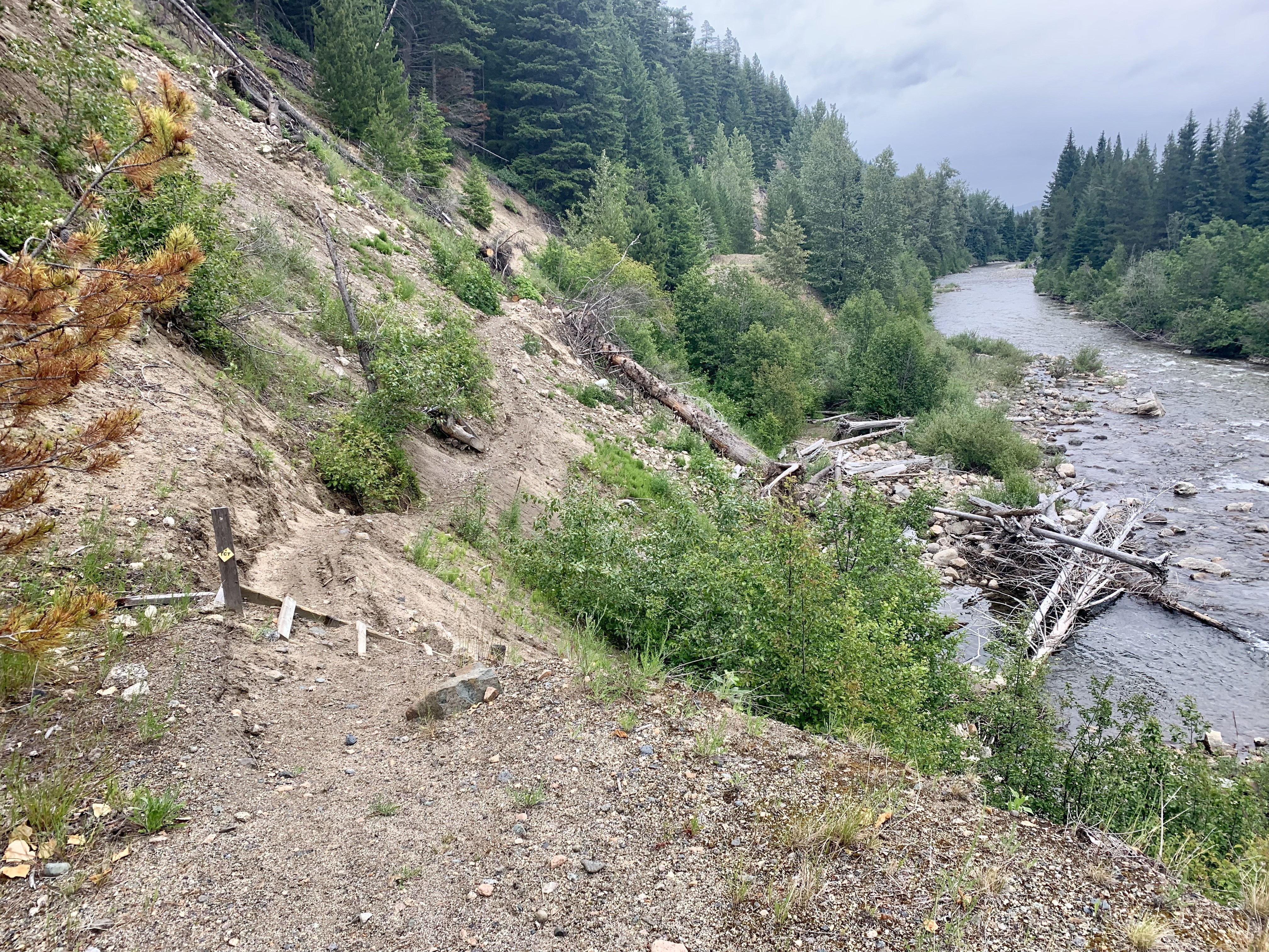
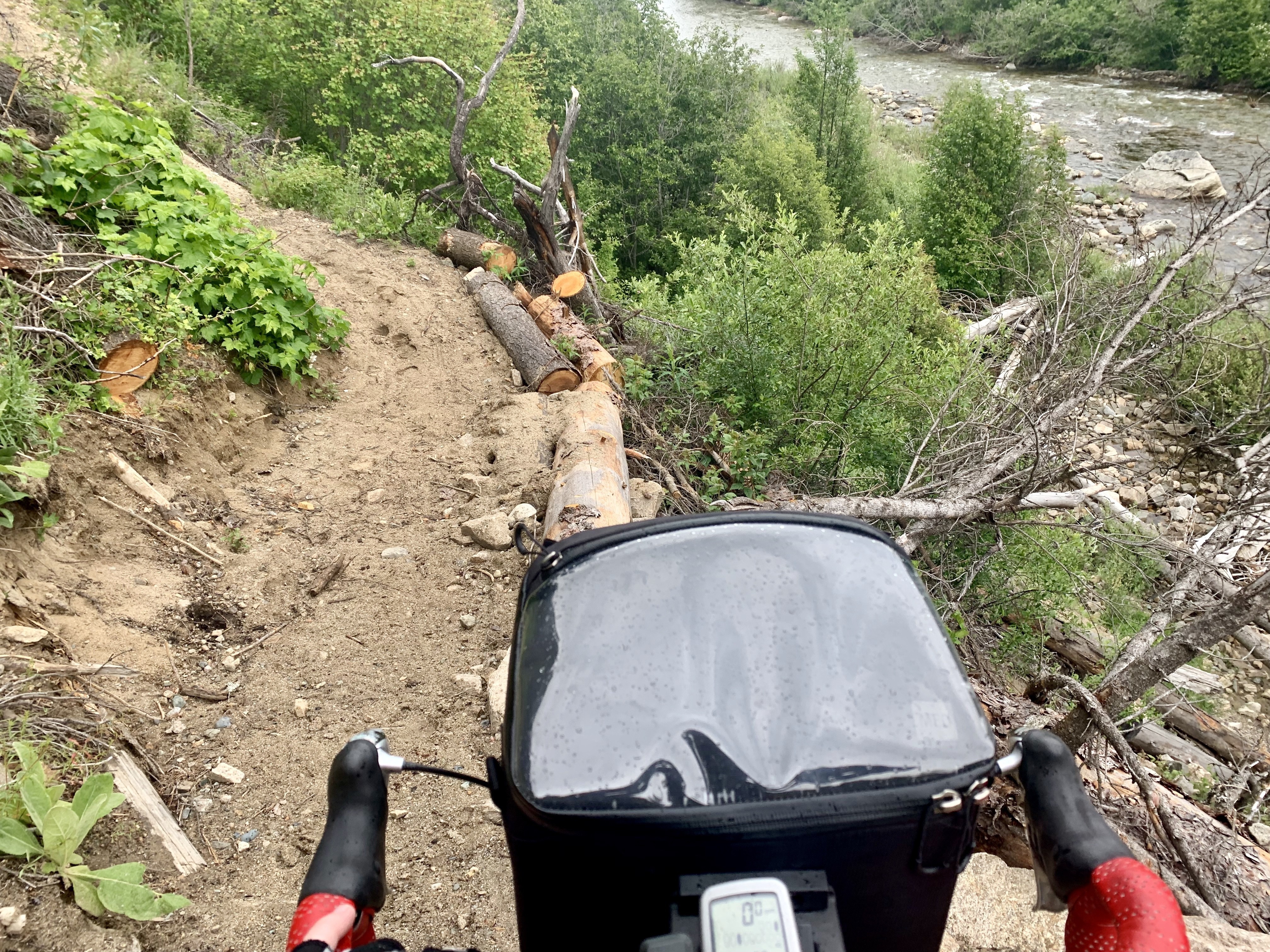
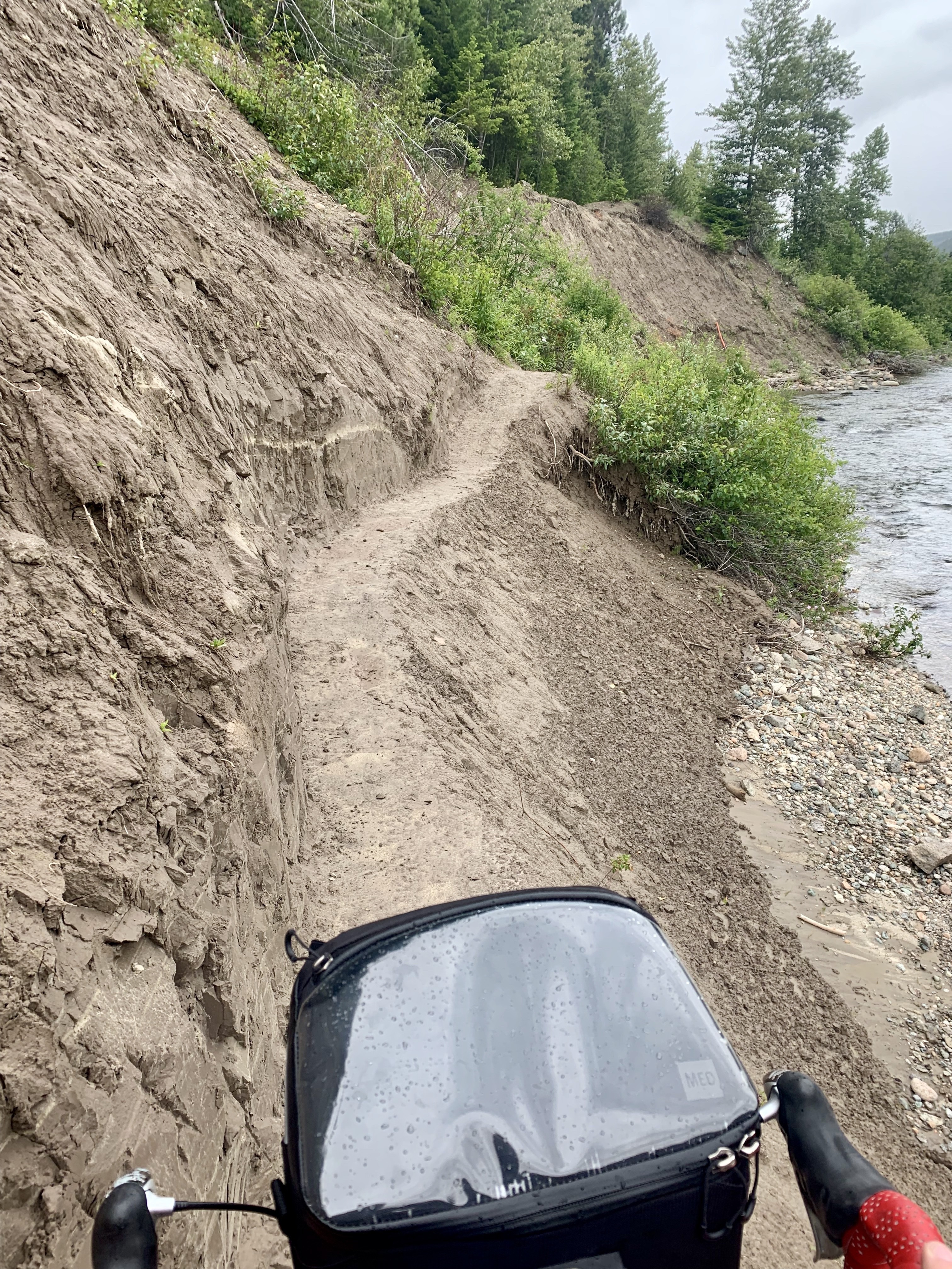
The traffic was getting to me, so when my GPS and Google maps both suggested a quiet side road I turned off the main highway. Streetview hadn’t driven down the road, but the starts and ends were paved so I figured it couldn’t be too bad. Google didn’t know that the road was washed out at some point and was closed to cars. I pressed on, because I’d come this far and didn’t want to return to the freeway. For a while the trail was rough but passable, and then I got to the actual washout. Then it was pushing my bike up and down a steep trail carved into the riverbank. That was an adventure to navigate, but I’d probably still do it again.
Once I got on the highway again it had started to rain. Hard. And the shoulder kept disappearing. I put on my rear light, gripped the handlebars tightly and got through the section as fast as I could. It was not pleasant—rain hurts when it’s hitting you at 60 kph, but I wanted to get off that highway fast. I whooped with relief when I got to the next side road. After that it was a quiet ride to Merritt following the Coldwater river, far away from all that truck traffic. No pictures for this section because I was cold and wet and just wanted to get somewhere warm. Now I’m sitting in a coffee shop that specializes in Bannock, warming up and waiting out the rain so I can go set up my tent.
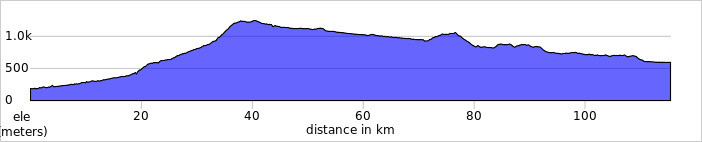
Today's Distance: 115 km
Cumulative Distance: 456 km