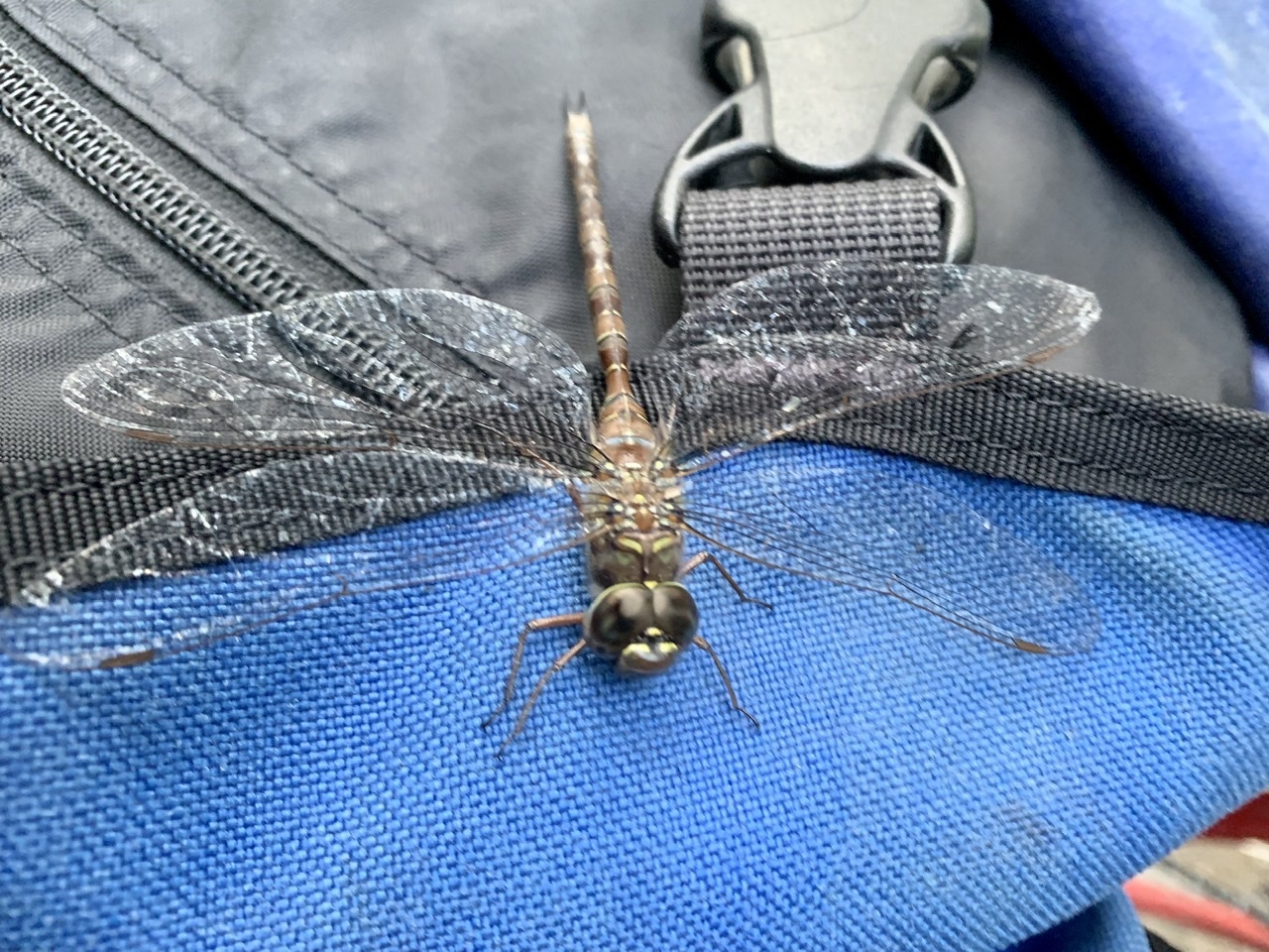
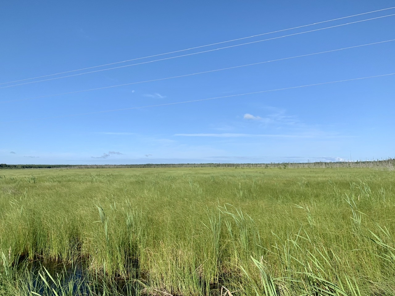
Jeff and I were up late (for me) chatting, so I let myself sleep in a little, getting on the road a little after 7am. Today featured less chances to swim, as the granite lakes were replaced by farmland as I followed the Rainy River along the border with Minnesota.
Many cross-country cyclists opt for the shorter route along Highway 17 between Kenora and Thunder Bay. I chose the southern route along Highway 11 because there were a few things I wanted to see: Quetico Provincial Park, the Noden Causeway, and the town of Emo. I also hoped that there would be less traffic this way.
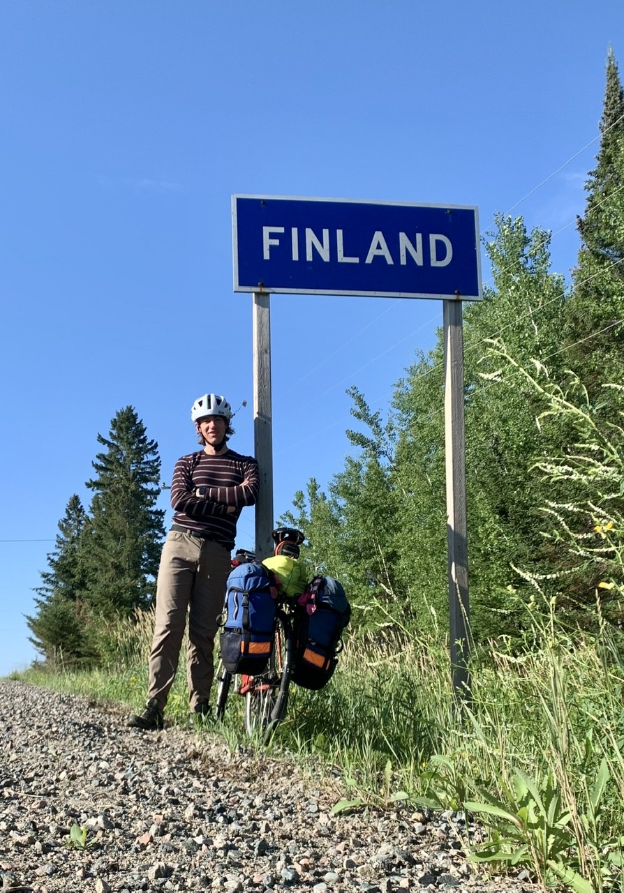
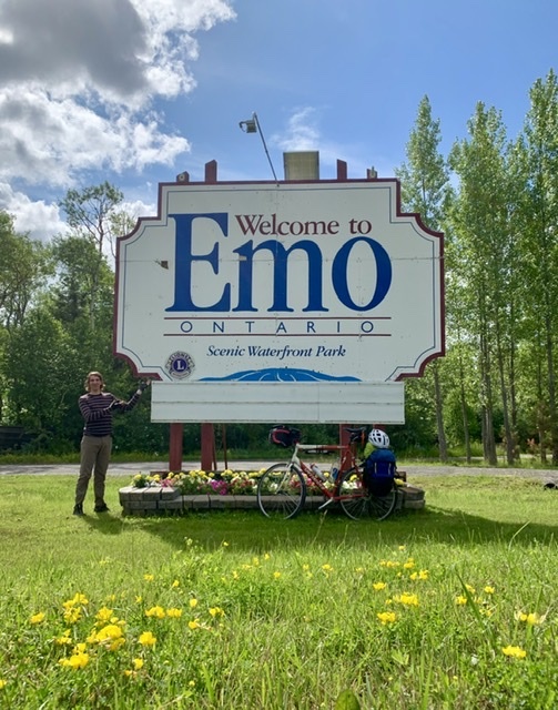
My family and I drove from London to Kenora in '88. On the way back we passed through Emo. My brother and I, never ones to get along, found a moment of shared humour as we cried crocodile tears because "we'll never see Emo again." I don't know why we found it so funny. It may have taken me 30 years, but I finally saw Emo again.

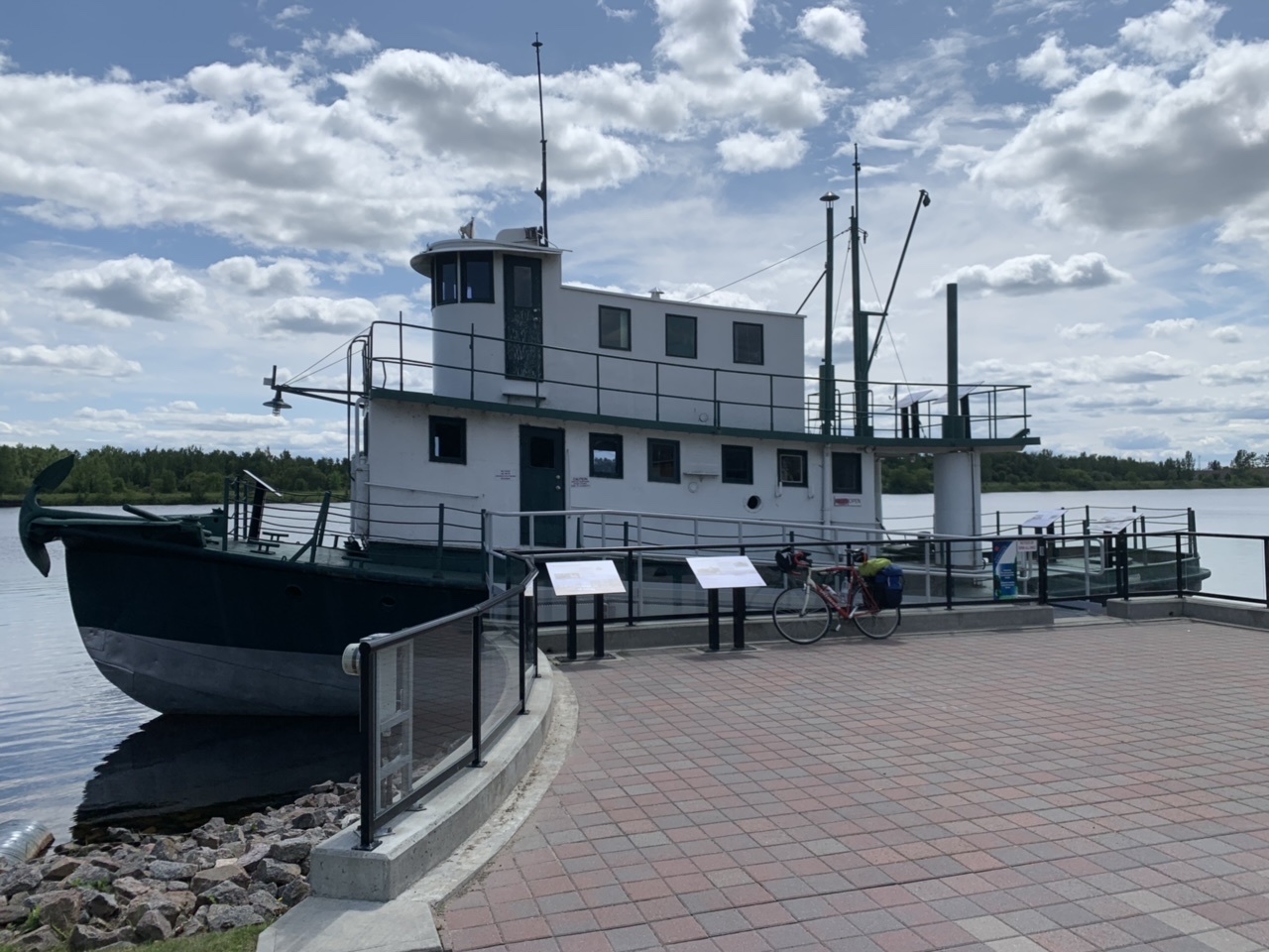
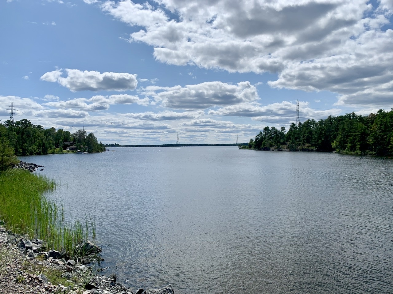
East of Fort Frances is the Noden Causeway, a nearly-5 km span that crosses Rainy Lake. It's big enough to have multiple lookouts and houses along its length. I saw it on the map and decided I needed to see it. It was impressive, and worth the detour (especially since I had to go through Emo to get there).

This section of the highway has long remote areas without campgrounds or places to stay. I knew I wouldn't have many chances to get water between Fort Frances and Quetico, so I filled up my spare water bladder as the highway was leaving Rainy River, and kept riding until I found a suitable place to stay. As it got closer to dusk I passed by a picnic rest stop, and that's where I camped for the night. Tomorrow I should make it to Quetico.
Today's Distance: 152 km
Cumulative Distance: 3407 km